Leilão Bidspirit | [40 years of work and
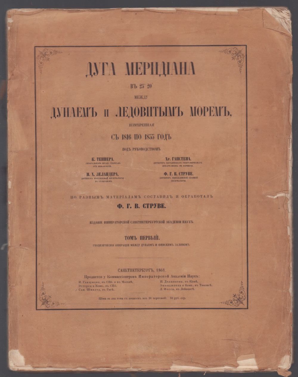
[40 years of work and the greatest discovery. The arc of the Meridian at 25°20' between the Danube and the Arctic Sea, measured from 1816 to 1855 under the supervision of K. Tanner, H. Gensten, N. H. Zelander, and F. G. V. Struve. Based on various materials, it was compiled and processed by F. G. V. Struve. In 2 tt. Volume 1 with an Atlas. - St. Petersburg: Imperial Academy of Sciences, 1861. - Vol. 1: 12, CXLVI, 334 p.; Atlas: 2 p., 28 l.chert. Publisher's cover, encyclopedic format (27 x 34.8 cm). The covers are worn and dirty, have tears, losses, including on the spine; the leaf with the Dedication is restored with paper; significant traces of moisture on the pages of the book and insignificant on the lower edge of the block at the Atlas; stamp exlibrises. [Arc Struve, named after the creator-the Russian astronomer Friedrich Georg Wilhelm Struve (Vasily Yakovlevich Struve) - a network of 265 triangulation points, which were laid in the ground stone cubes with a length of 2 meters, extending more than 2,820 kilometers. It was created to determine the parameters of the Earth, its shape and size. The reference points of the meridian network were marked on the ground with hollows hollowed out in the rocks, iron crosses, pyramids of stones or specially installed obelisks. The Struve geodesic arc was measured by Struve and the staff of the Dorpat (Tartu) and Pulkovo Observatories (of which Struve was the director) for 40 years, from 1816 to 1855, over a distance of 2,820 km from Fuglenes near Cape Nord-Cap in Norway (latitude 70° 40'11”s. s.) to the village of Staraya Nekrasovka in the Odessa region near the Danube (latitude 45° 20'03”s.s.), which formed a meridian arc with an amplitude of 25° 20'08”. Struve's measurements have been used in science and the national economy for more than 130 years, and they have been used in all studies of the shape of the Earth by comparing astronomical and geodetic arcs. Already in 1853-1854, based on Russian and English (in India) measurements, Struve derived a preliminary result of calculating the most probable dimensions of the Earth, which became the very first ”hit” in the history of geodesic science in the exact parameters of the all-earth biaxial ellipsoid of rotation.]